A long-planned project to restore the eroding East Chop Bluff in Oak Bluffs is inching closer to reality, although the town is still seeking funding for the $17 to $20 million project.
A plan to stabilize about 2,400 feet of the bluff below East Chop Drive is before the Martha’s Vineyard Commission for review as a development of regional impact (DRI). A public hearing about the proposal was scheduled to continue at the commission Thursday night at the Olde Stone Building in Oak Bluffs.
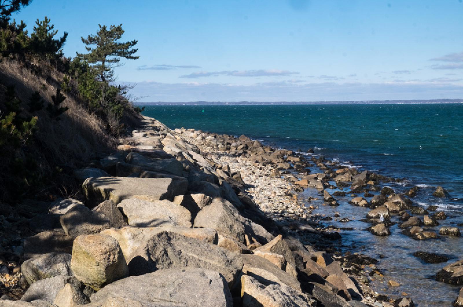
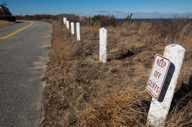
The outcropping of land jutting into Vineyard Sound, topped with a scenic road, historic homes and a lighthouse, has been damaged by erosion for more than a century. The bluff was dealt a major blow by Hurricane Sandy in 2012, which undermined the cliff and created a condition called slumping, which means the bluff was destabilized at the bottom allowing the top to slump down. Since then, East Chop Drive has been restricted to a single lane of traffic due to safety concerns.
The bluff has continued to deteriorate over the past five years, battered by onshore storms and waves from Vineyard Sound.
“It’s a very important project,” town administrator Robert Whritenour said this week. While he said the bluff isn’t at risk of imminent collapse, “the rate of erosion continues, the slumping continues. So it’s a problem that’s going to continue and get worse.” For several years the town has been grappling with the problem and seeking financing for the project, including pursuing Federal Emergency Management Agency funding that never came through.
While the town is still in pursuit of funding, a state Department of Conservation and Recreation grant has paid for design and permitting, which town officials said was a major boost. Plans have been drawn by project engineer Carlos Pena of CLE Engineering.
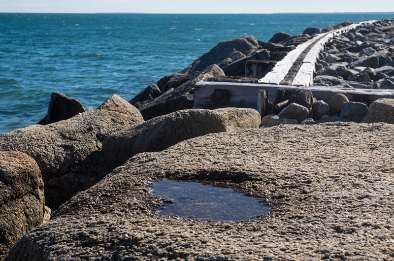
The project focuses on the western side of the bluff, from below roughly Munroe avenue to Arlington avenue. The plan calls for expanding an existing stone revetment using a slope of angular armor stones. The revetment would be raised by eight to 10 feet to a height of 20 feet, which is above the 100-year flood elevation. The height also accounts for wave run-up and two feet of future sea level rise.
The revetment would also be expanded by more than 30,000 feet to a total area of 77,650 square feet along the foot of the bluff.
Fill would be placed at a 27-degree angle from the top of the revetment up the bluff. For stabilization, the town proposes planting a variety of salt-tolerant sea plants including Northern bayberry, beach plum, rosa rugosa and little blue stem.
A path is planned along the top of the revetment to improve public access to the beach below the bluff. The revetment would also comply with the Americans with Disabilities Act by providing access through a ramp at the southern entrance. Repairing the bluff is important for public safety and to save the roadway, which provides access to several historic homes and to the East Chop Lighthouse, town conservation agent Elizabeth Durkee said. It is also culturally important as one of the few scenic roadways on the Island that is accessible to the public, she said, and provides the t own with recreational use and open space. “Thousands and thousands of people use it to walk and run . . . the historic East Chop lighthouse is right around the corner,” Mrs. Durkee said. “It’s got economic value because people use it, people who use it spend money in town. And it’s a public safety issue, too.”
Erosion has been documented at the East Chop bluff since the late 1800s. Over the last century bulkheads and revetments have been built to protect the lower part of the buff, but the last time major work was done was after Hurricane Bob in 1991.
Even before Hurricane Sandy pummeled the area, studies showed the bluff did not meet minimum stability factors and rapid deterioration could occur if waves washed over the existing revetment or after heavy rainfall.
In the years since Sandy, engineers have evaluated the bluff after major storms, Mrs. Durkee said, “and after each major storm there has been more erosion and slumping.”
A few weeks ago a technical survey was done to establish a baseline evaluation.
“The question is, will there come a point we have to close the road in both directions because of instability of the bluff until work gets done,” Mrs. Durkee said.
Questions about what to do with East Chop Drive going forward are being considered separately from the bluff project, she said, including whether the road would be reopened to two lanes of traffic after the project is completed.
Beyond commission approval, the project will require a host of permits and approvals at the town and state levels, as well as an individual permit from the U.S. Army Corps of Engineers. Mrs. Durkee said the permitting process could take about a year. Town officials said getting permits in place makes it easier to find funding, which will be the next hurdle.
“Often when dealing with large-scale coastal infrastructure projects, it really overwhelms the financing authority of a very small town like Oak Bluffs,” Mr. Whritenour said. “So we really look to partnerships with the state and federal government to assist us . . . there’s not $20 million sitting around locally that would go to a project like this.”
Mrs. Durkee and Mr. Whritenour said the state DCR, which paid for the permitting and design, is an important partner in the project. “They’re committed to the project, Mrs. Durkee said. “They’ve already put money into it.”
Other funding could come from the Army Corps of Engineers. The town will be looking for “any and all funding sources in the whole world,” Mrs. Durkee said.
The project could be staged in phases if the funding comes piecemeal, she said, with the most critical area, the southern end of the bluff nearest downtown Oak Bluffs, addressed first.
Mr. Whritenour pointed out that the town had recently completed a similar, though smaller, project at the North Bluff, where the seawall was failing after being damaged by Hurricane Sandy. A metal seawall was built at the bluff between Oak Bluffs harbor and the Steamship Authority terminal. The seawall was fronted with a stone revetment and a timber walkway runs atop the wall. The project was awarded about $5.6 million in funding from state grants.
“It’s been a wonderful project for the town, a raised seawall that protects the whole North Bluff,” he said. “Hopefully we have success like that on East Chop.”


Comments
Comment policy »